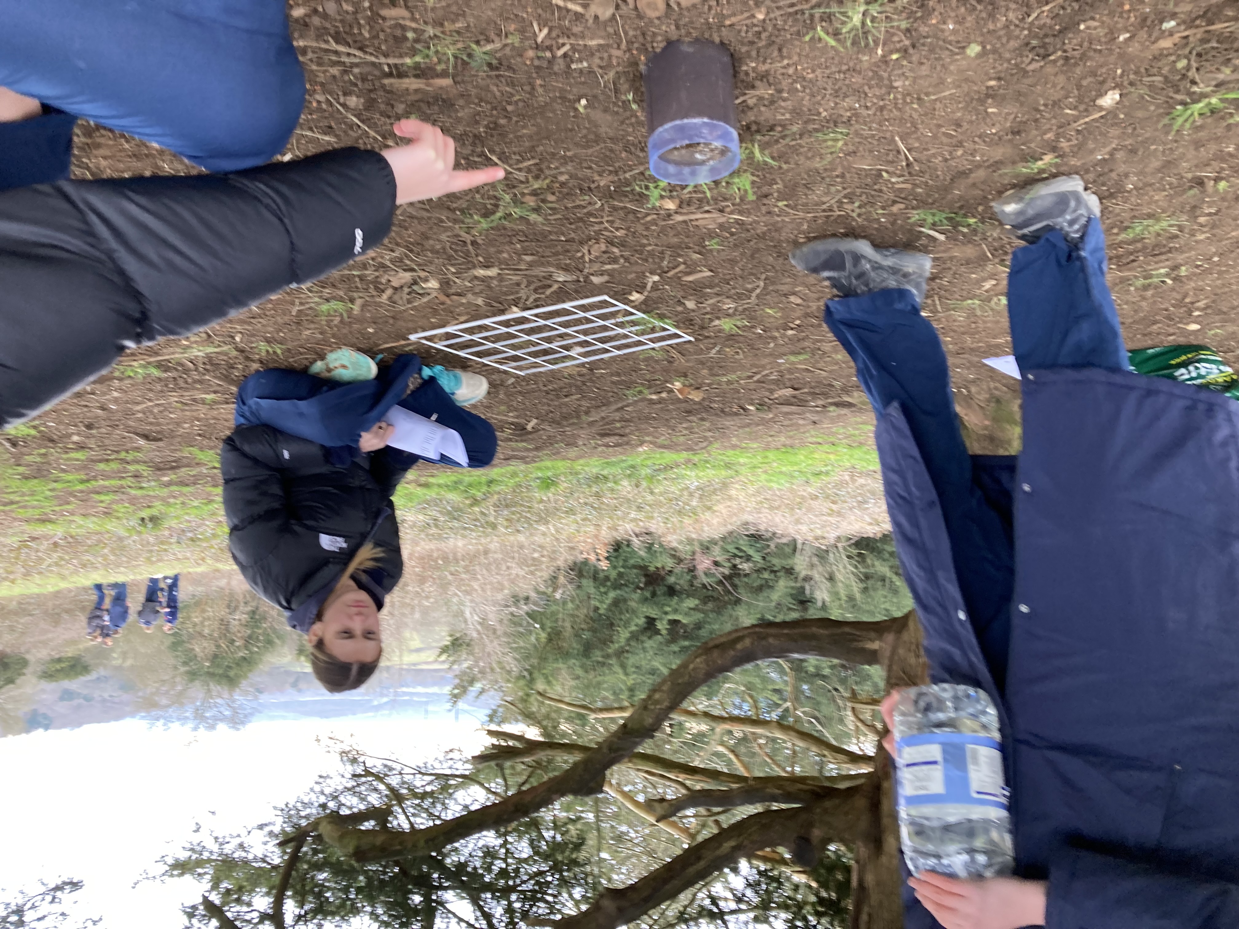
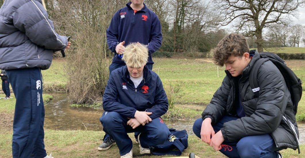
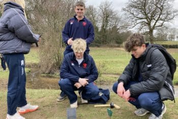
On Friday 3rd March the Lower Sixth geographers visited various sites around the river Tillingbourne to complete a fieldwork inquiry into how rates of infiltration varied on different types of land cover and topography within the drainage basin.
Four different sites were visited, including a tourist viewpoint, a village, a working farm, and an area of woodland. The first site the students visited was Newlands Corner, an area with many footpaths and a visitor centre allowing us to consider some effects of human activity on drainage basin flows. They also completed a field sketch here although a few students were disappointed by the lack of river at the site!
The students then visited the village of Shere where the river was now visible albeit smaller than some people expected. They completed the same fieldwork measurements as before (on infiltration, vegetation cover, soil moisture, slope gradient, etc.).
The third stop was a working farm where they were able to see the influence of arable and pastoral land use on infiltration rates.
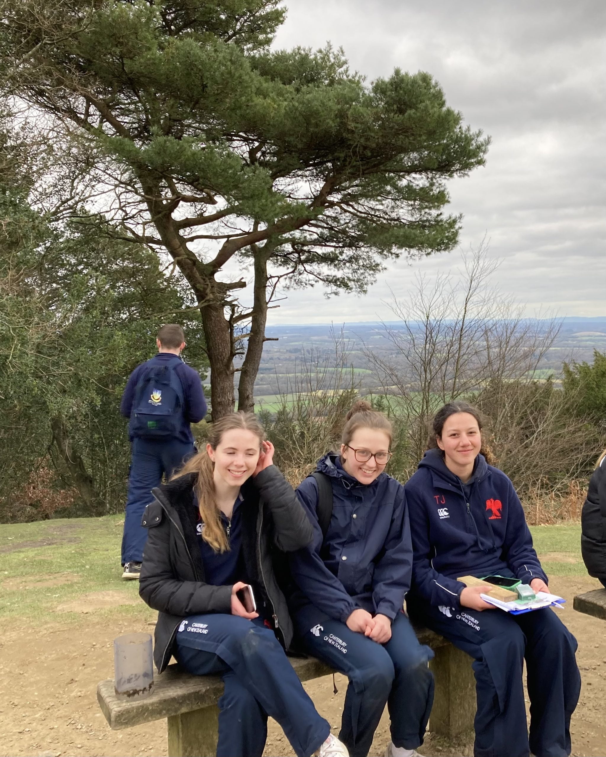
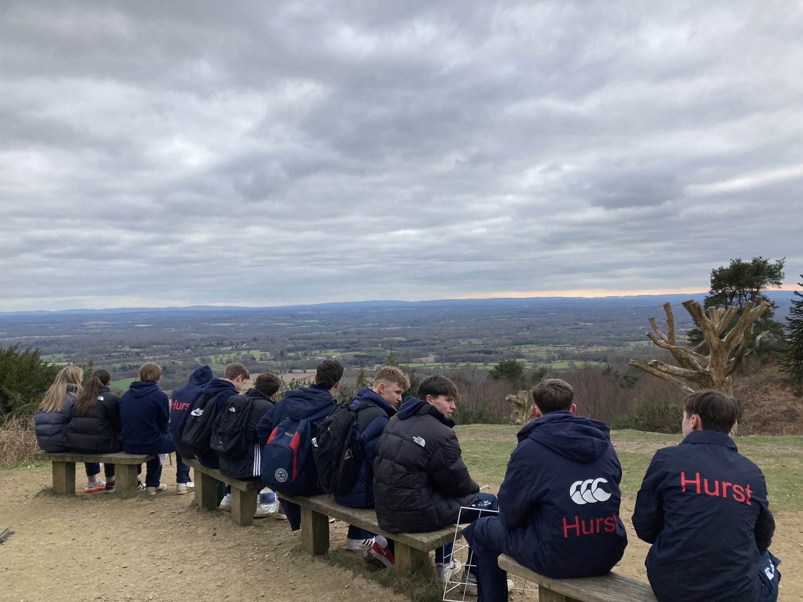
The last stop was near Leith Hill in the south-eastern part of the drainage basin before completing a short climb to the top for a quick admiration of the view before the bus back to school.
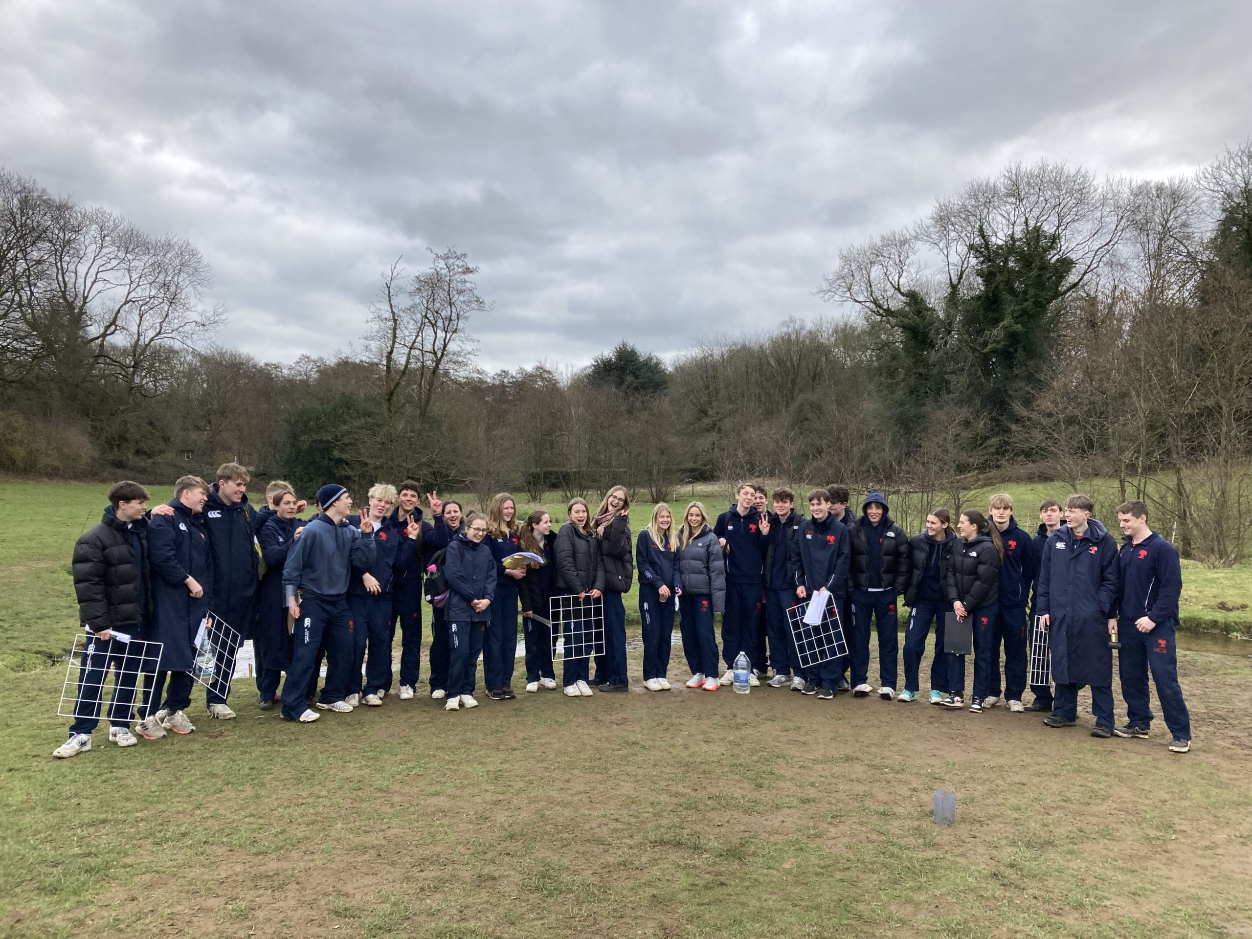
Overall, the trip was a great way of practising some of the skills the students may want to apply in their Non-Examined Assessment later in their A-level.